

2·
9 days agoThere are viable stations that literally just play random songs from a playlist, jingles and ads so the bar is really low
There are viable stations that literally just play random songs from a playlist, jingles and ads so the bar is really low
Vogon poetry
Knowing the author’s nationality and previous cultural references, I think she’s inspired by Slavic Rusalka myths. Better read up on that archetype before considering a relationship…
This program in 35 kB of LISP-like code beat GPT 3.5 a Turing test, and some people would keep using it despite having seen the code. But I think parasocial relationships with machines date back to early cogs and pulleys…
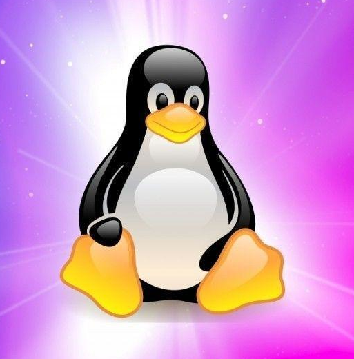
Yup. I don’t like the original T-shirt’s custom, green Tux. And WSL (even with its oddly reverse name) is better than the other penguin vector graphics that ship with Windows…


I’m pretty sure the designer was told “Nothing like Tux”. The first emoji shows a corporate, decidedly uncute emperor penguin, the other one is reminiscent of Club Penguin and screams “how do you do, fellow kids”. Still, it could - and has been - made worse with the pivot to AI and gradients.

That’s the WSL penguin…
Looks like they don’t have a dedicated backend dev. A similar presentation could be done by making it a dynamically generated page, with some CSS animations.
There are multiple sites like this, for example clickclickclick.click has been around for 10 years (not optimized for mobile)
It seems to be a Unicorn 2 picosatellite, which includes the power, inertia control and communication systems and a telephoto camera as default payload. See the original Xitter post (via Xcancel) for details. Like most cubesats, they don’t use shielding and it works.
I was pointing out that swap space, sometimes known as virtual RAM, requires more careful management because of bandwidth and write cycle limitations (for example, it does not make sense to cache files there if they exist on the same physical medium) so full use of space on it is a lower priority.
The “free (physical) RAM is wasted RAM” adage rules.
Yup, drunkards in a tram are annoying but they almost never kill people and cause tens of thousands in damage.
Nice, especially with a solar panel at the top. But street lamps near roads are prone to accidents, and I’m sure a big block of Li-Ion in the base would make these way more risky.
Encrypt hard drive and keep the key in RAM. Could be recovered with a cold boot attack but that’s very advanced. The DOS virus ONEHALF would run as a daemon encrypring a block on the drive on each boot and intercept reads/writes to the encrypted part as if nothing ever happened. Only after encrypting ½ of the disk, it would reveal itself with an ominous
Dis is one half.
Press any key to continue...
The decryption was eventually cracked by ESET and they developed a tool to recover the drive.
Mapy.com too :( They locked previously-free features behind a paywall. The 1.5 years old Android app version 9.55.2 still works though
“How’s the driver of the electrodes’ GPIO, Doc?”
“Probably won’t fit in flash with the kernel and Apache. But I could rewire the electrodes to UART instead, that seems more practical than interfacing with that weird pulse generator.”
They don’t know how this one will go and GIMP 3 is in production. Franchises are crazy

She would follow an online guide to change the emoji font, not noticing that it’s for Windows 10, not back up the registry before editing the
seguiemj.ttfentry toNoto Color Emoji.ttfand thus freezing any program trying to render emoji, breaking the OS because there’s one in her username on the login screen. No, Windows 11 can’t handle her.Changing the default emoji font is easy and safe on Linux with
fontconfig, just add the font name among aliases tosans-serifin~/.config/fontconfig/fonts.conf(user) or/etc/fonts/local.conf(global) and you can use any emoji font you can get your hands on. Heck, evengrubcomes with emoji (monochrome, obviously) in its defaultunicode.pf2font.